Tom Maynard
Singer ~ Songwriter ~ Sound Healer
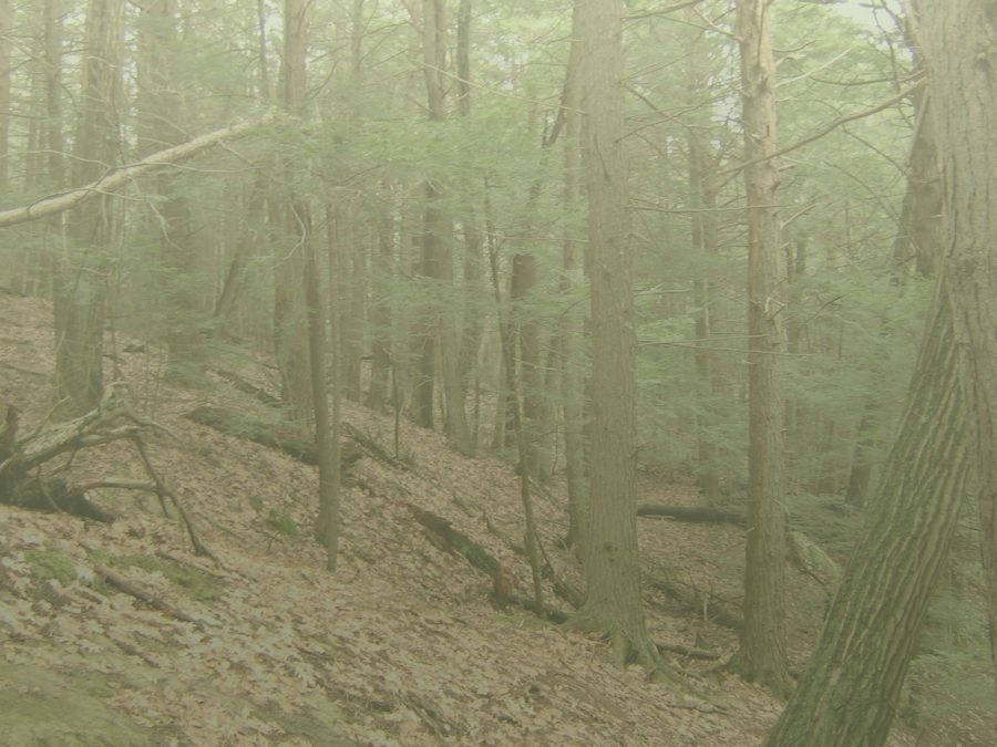
Photographs: Hiking
Bay Circuit Trail - Eastern Massachusetts Bay Circuit home page
Medfield
This was my first section (it's my home town). It took three hikes to complete this stretch:
- Nov 6, 2011 - From trail entry on West Street through the old town landfill lands, then Vine Lake Cemetery, and Causeway Street to Shattuck and Noon Hill Reservations.
- Nov 12, 2011 - Town line at Death Bridge (Charles River), Medfield Town Forest, Hospital Hill, past the Medfield Center for Council on Aging to West Mill Street, Adams Street to the railroad tracks on West Street.
- Nov 19, 2011 - Noon Hill Reservation, street walking to the power lines on Rt 27, through to the green space behind Wheelock School, Elm Street to Walpole border.
Walpole
- Nov 12, 2011 - Indian Trail to Eleanor
Johnson Middle School.
- Dec 27, 2011 - Eleanor Johnson Middle School, through Walpole Center, Spring Brook Park, Memorial Pond, Clark Pond, Walpole Town Forest, Neponset River to Rt 1 and Pine Street (Sharon border).
Sherborn
Starting at the Charles River on the south side, leadng through Rocky Narrows (Trustees of Reservations) and a number of stretches of the Sherborn Town Forest, the trail crosses RT 27 and climbs Brush Hill before winding through horse farms and ending in the Barber Reservation. This is the other side of the beaver pond which forced me to quit and come at it from the Ashland side. This took three hikes as well.
- Nov 25, 2011 - Rocky Narrows Reservation to Sherborn Town Forest from Forest Street to Rt 27.
- Nov 27, 2011 - From Rt 27 through public lands to Brush Hill, ending in the Barber Reservation. Beaver activity has obstructed the trail at this point and I needed to come in from the other direction in Ashland to finish the short stretch in Sherborn.
- Dec 11, 2011 - The other side of the power lines, where most of the beaver activity is evident. Accessed from Rt 126 in Ashland. Takes in the old Conrail rail yard.
Ashland
The Ashland stretch of the Bay Circuit Trail encompasses a walk through Ashland Town Forest (where I met my first BCT section hiker) and the Riverwalk along the Sudbury River near Ashland Center, as well as a causeway off of RT 126 where the trail leads into a beaver pond after passing into Sherborn and crossing a Conrail railyard. This took me two separate hikes.
- Dec 11, 2011 - The stretch of the BCT from Rt 126 to the Sherborn border. Crossing a causeway and wetlands with a beaver lodge and dam.
- Jan 29, 2012 - Starting on Oregon Road, through Ashland Town Forest (where I met my first BCT section hiker) taking in the Riverwalk along the Sudbury River near Ashland Center, crossing Rt 135, through a cemetery, a development, some road walking and ending in the parking lot on Rt 126.
Sharon
The Bay Circuit Trail in Sharon is mostly through green areas; there are only a few miles on roads. Included are the Moose Hill Wildlife Sanctuary (Aububon), Beaver Brook Trail and Borderland State Park.
- Dec 27, 2011 and Jan 7, 2012 - Starting on at the Walpole/Sharon border on South Walpole Street, the BCT crosses Rt 95 and then heads into the Moose Hill Reservation. On Dec 27th, I continued my Walpole hike into Moose Hill reservation and ended at Walpole Street (then walked up Walpole Street and northon Rt 1 to the Starbucks at 27, where Deb picked me up.) On Jan 7th, I picked up on Walpole Street, through teh main part of Moose Hill, to Beaver Brook reservation, to the ball field at Deborah Sampson Park.
- Jan 16, 2012 - Finishing up Sharon, Walked through Borderlands State Park, past Maassapoag Lake, back to Deborah Sampson Park.
Southborough
In this stretch, the trail slips into Framingham and Marlborough for short stretches. It takes in the Sudbury Dam and Reservoir and a piece of Callahan State Park. This was the only time this winter that I found snow on the ground.
- Feb 20, 2012 - From Rt 30/Boston Rd, take abandoned Lamb Hill Road to Firmin Ave, across Rt 9 to Staples Headquarters, through their nature/exercise trail, and parellel the Mass Pike then to Oak St overpass, and finally to Oregon Road in Ashland.
- Mar 3, 2012 - From Lamb Hill Road along Rt 30/Boston Rd, to Pine Hill Road, to the access road along side of the Sudbury Reservoir, and eventually to Callahan State Forest. I stopped this trek at Stearns Farm on Edmands Road.
Through Nobscott Reservation, over Tippling Rock, and Nobscott Hill, then to Ford's Folly. Henry Ford apparently owned the Wayside Inn in Sudbury for a time, and thought he could build a dam to supply the Inn with water. The dam never held water though. Continued to Henry's Hill (Sudbury Valley Trustees), then a stretch of Edmands Road to Stearns Farm
- March 18, 2012 - From Nobscott Reservation to, past Ford's Folly, through Henry's Hill and ending at Stearn's Farm on Edmands Road.
Sudbury
From Nobscott Reservation and Weisblatt Conservation Lands, Down Rt 20 through Sudbury Center, and eventually coming into Wayland. Lot's of street walking.
- March 18, 2012 - From Weisblatt Conservation Lands into Nobscott Reservation into Framingham.
- April 8, 2012 - Starting at the Wayland/Sudbury town line on Pelham Island Road, to Lyons-Cutler Reservation on Landham Road, to Rt 20 and the King Philip Historical District and ending at the Weisblatt Conservation Lands.
Wayland
- April 08, 2012: From Cow Common in Wayland on Rt 27 to Bow Rd, Rt 126 to the Wayland Depot junction of 27 and Rt 20, to Pelham Island Road. Trail goes through Heard Farm, through Great Meadows Reservation and finally to the Sudbury town line.
- April 29, 2012 - Oxbow Yoke Trail to Trout Brook Conservation Area. The trail leads to Rt 126, and then to Sedge Meadow Conservation Area, to Black Cat Farm, and finally to Cow Commons.
Concord
- April 29, 2012: Rt 126, Walden Pond.
- May 12, 2012 - Walden Pond to Minuteman National Historical Park
- July 28, 2012 - Minuteman National Historical Park to Bedford via rail trail through Great Meadows Reservation.
- Aug 26, 2012 - Minuteman National Historical Park to Ashland
Easton
To be uploaded
- April 13, 2015
- June 3, 2012
Bedford
To be uploaded
- July 28, 2012
- August 19, 2012
- November 24, 2012
Acton
To be uploaded
- September 2, 2012
Westford
To be uploaded
- September 15, 2012
Chelmsford
To be uploaded
- September 12, 2012
- September 15, 2012
Lowell
To be uploaded
- January 20, 2013
Tewksbury
To be uploaded
- January 20, 2013
- September 21, 2013
West Bridgewater
To be uploaded
- February 3, 2013
East Bridgewater
To be uploaded
- March 3, 2013
Hanson
To be uploaded
- April 13, 2013
- April 28, 2013
Pembroke
To be uploaded
- May 11, 2013
- June 12, 2013
Kingston
To be uploaded
- June 12, 2013
Andover
- Sept 21, 2013: Walking the rest of the Merrimack River Trail, through the Deer Jump and Fish Brook Reservations and starting off the Harold Rafton Reservation. Had a rare white-tailed deer sighting. Photo was iffy because it was quite dark, and a fair distance from me.
- Oct 6, 2013: Finishing of Harold Rafton reserve, continuing along the road over RT 495. This is very close to the junction of Rt 495 and Rt 93. Some street walking until connecting with Doyle Link, then Beside the West Parish Cemetery, to Baker Meadows and Indian Ridge, where there is a cool little House at Pooh Corner. Finished up at the Shawsheen River.
- Oct 17, 2014: Picking up the BCT after a break of more than a year. Starting at the bridge over the Shawsheen River, along roads and through some small green spaces, through Phillip's Academy, eventually coming to Holt's Hill in Ward Reservation.
- Jan 1, 2015 - A walk on New Year's Day. This one took in a bit of Ward Reservation, then hit Mary French, Hammond and Skugs River Reservations before ending in the Harold Parker State Park.
- Jan 18, 2015 - Starting in the parking area on Middleton Road in Harold Parker State Park, the trail meanders to Rt 114. It then goes through the North Andover Soccer Fields and Cyr Recycle Center before taking Sharpners Pond Road to Boxford State Forest. I missed the turn off that took in a green section and part of the Essex Rail Trail, but caught that on the way back.
Boxford
To be uploaded
- April 13, 2015
- May 3, 2013
- May 25, 2015
Georgetown
To be uploaded
- May 3, 2015
Rowley
To be uploaded
- May 3, 2015
- June 15, 2015
Ipswich
To be uploaded
- June 15, 2015
Newbury
To be uploaded
- June 15, 2015
Other Trails
Goetz Trail, Walpole, MA - Oct 22, 2011: The Geotz Trail off of Rt 27 in Walpole.
Endean Trail, Walpole, MA - Dec 29, 2011: I took this hike for two reasons: I see the trail head from the Forge Park commuter rail and have been wanting to explore it, and it was miscommunicated via some info on the Web that it was a trail head for the Pinnacle Trail. The Pinnacle Trail is actually just 1/2 mile down Plimpton Road. The Endean Trail trailhead is the location of infamous "Dog Rock."
Pinnacle Trail, Walpole, MA - Jan 29, 2012: Walpole - The other side of the Neponset River. A beautiful trail with some challenging (though very short) ups and downs. The area is a little bit of a mess; it's obvious that it is popular, and there are some odd panels strewn about. Return to Photos HomeHome | News | Biography | Music | Photographs | Sound Healing | Links
Copyright Thomas Maynard All rights reserved